This is part of a series of blog posts from attempting the 4 great Traverses of the Colorado 14ers. Our trip occurred in August of 2018 but I wrote them in April 2021, so some details are fuzzy.

Little Bear to Blanca Traverse
Click here for a map and route description on 14ers.com
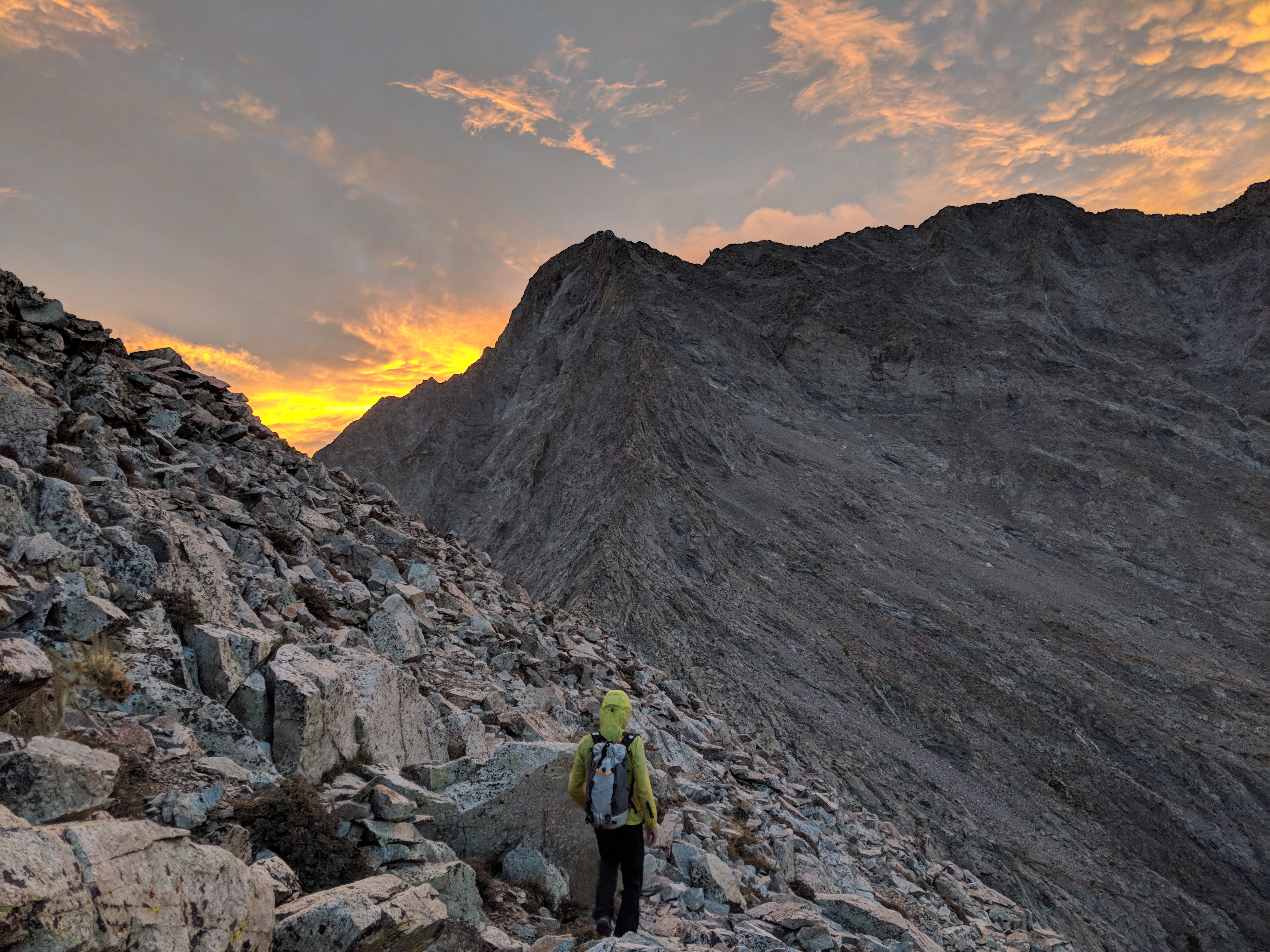
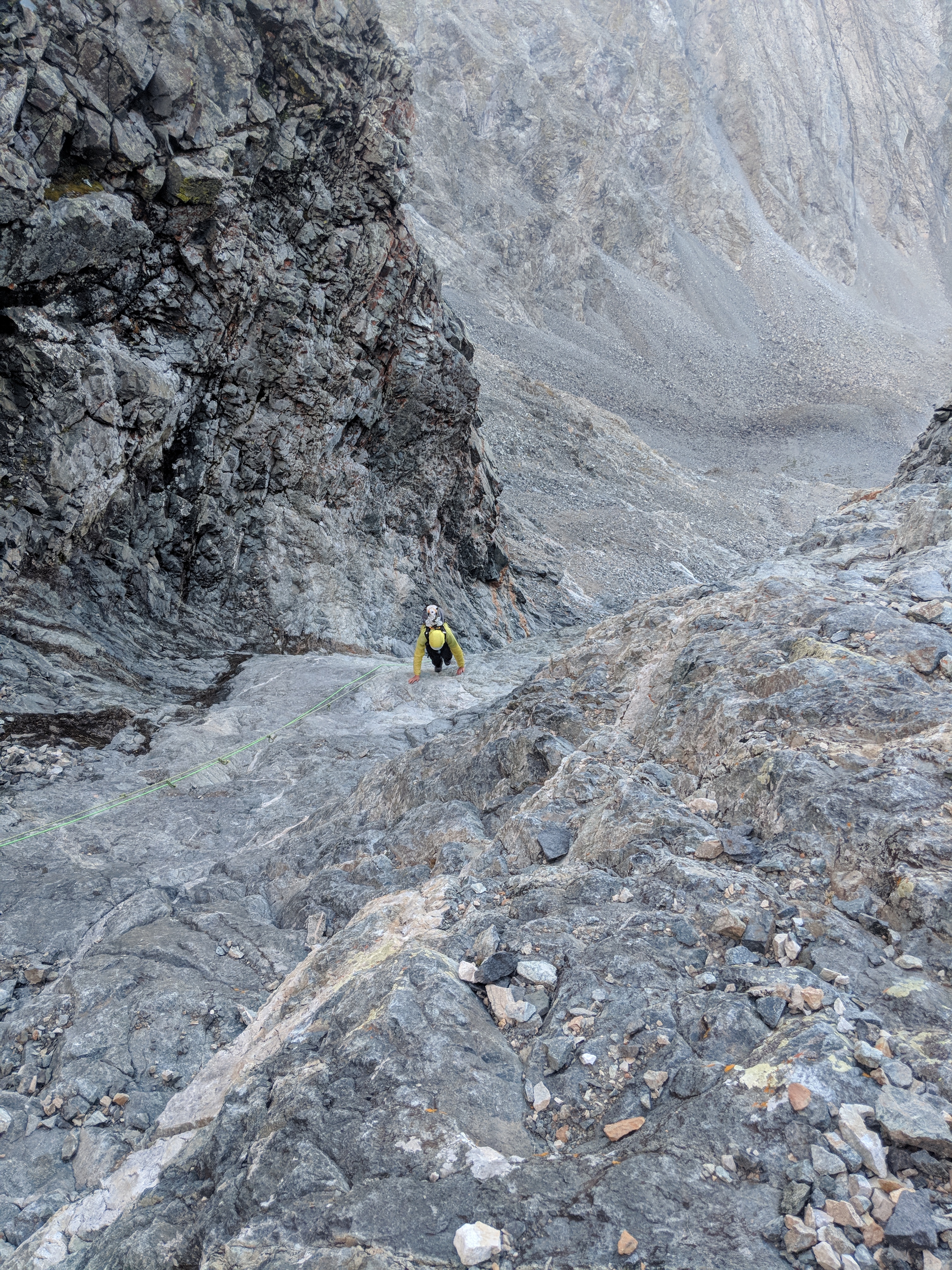
We slept in the next day and drove through Durango then across the San Luis Valley to the Lake Como Trailhead. We arrived around sunset, shouldered our packs amidst cactus and piñon pine and started hiking up the Lake Como Approach. I have always liked the Sangre De Cristo mountains for a number of reasons. One of them is that you literally walk from below trees, i.e. the desert, into the forest, and then climb out above the trees. We pitched our tents in the dark somewhere before Lake Como, just off the road a bit, ate a snack, and then crashed. We got up early (surprise, huh?) and started with the rest of the road walk to Lake Como. We then found the trail up a gully on the north side of LB’s NW ridge. We had a fiery sunrise while climbing up, up, and up. We located the hourglass gully and climbed it with bated breath, hoping that there was no one above us. Looking back, it was one of the most nerve-wracking bits of any 14er I have been on. It was wet, rockfall hazard was high, and the fixed ropes looked sketchy at best. However we picked our way carefully and summited Little Bear still early in the morning.
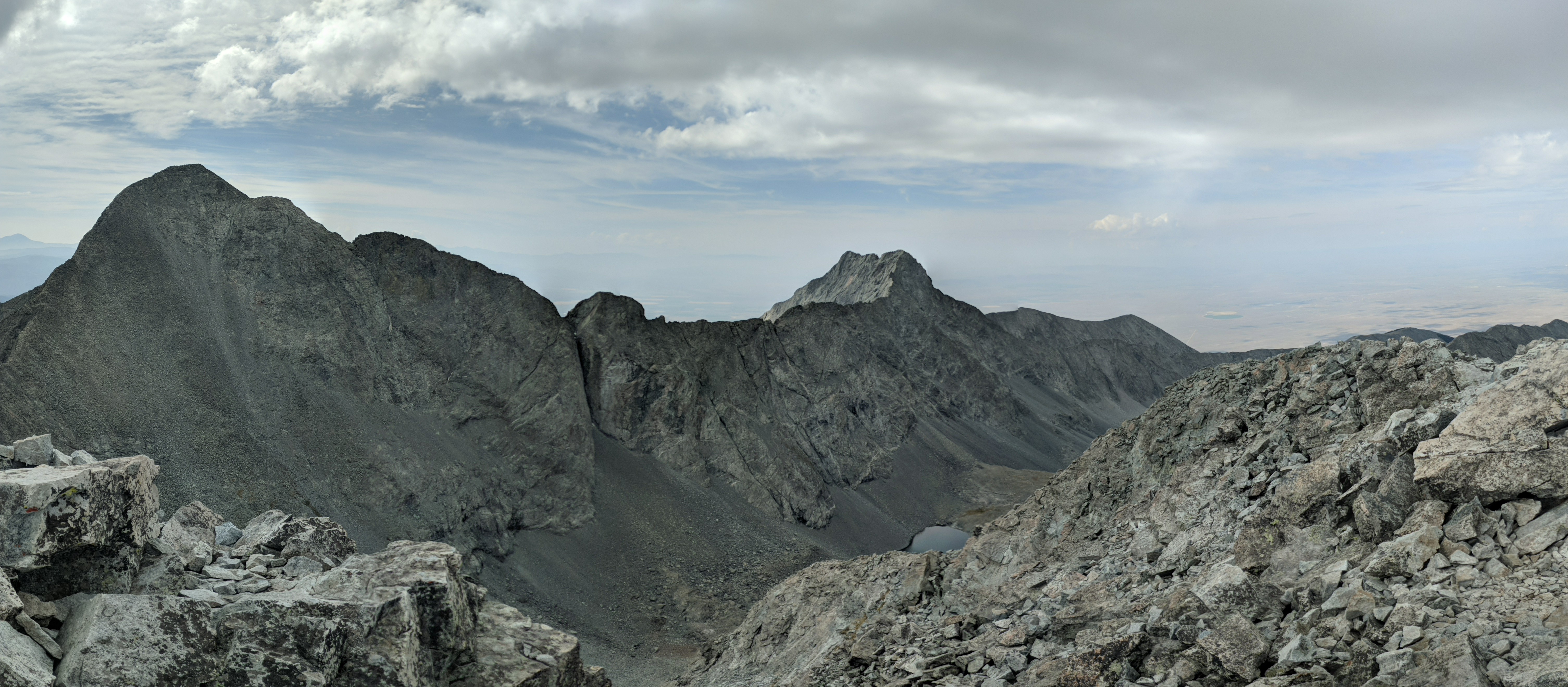
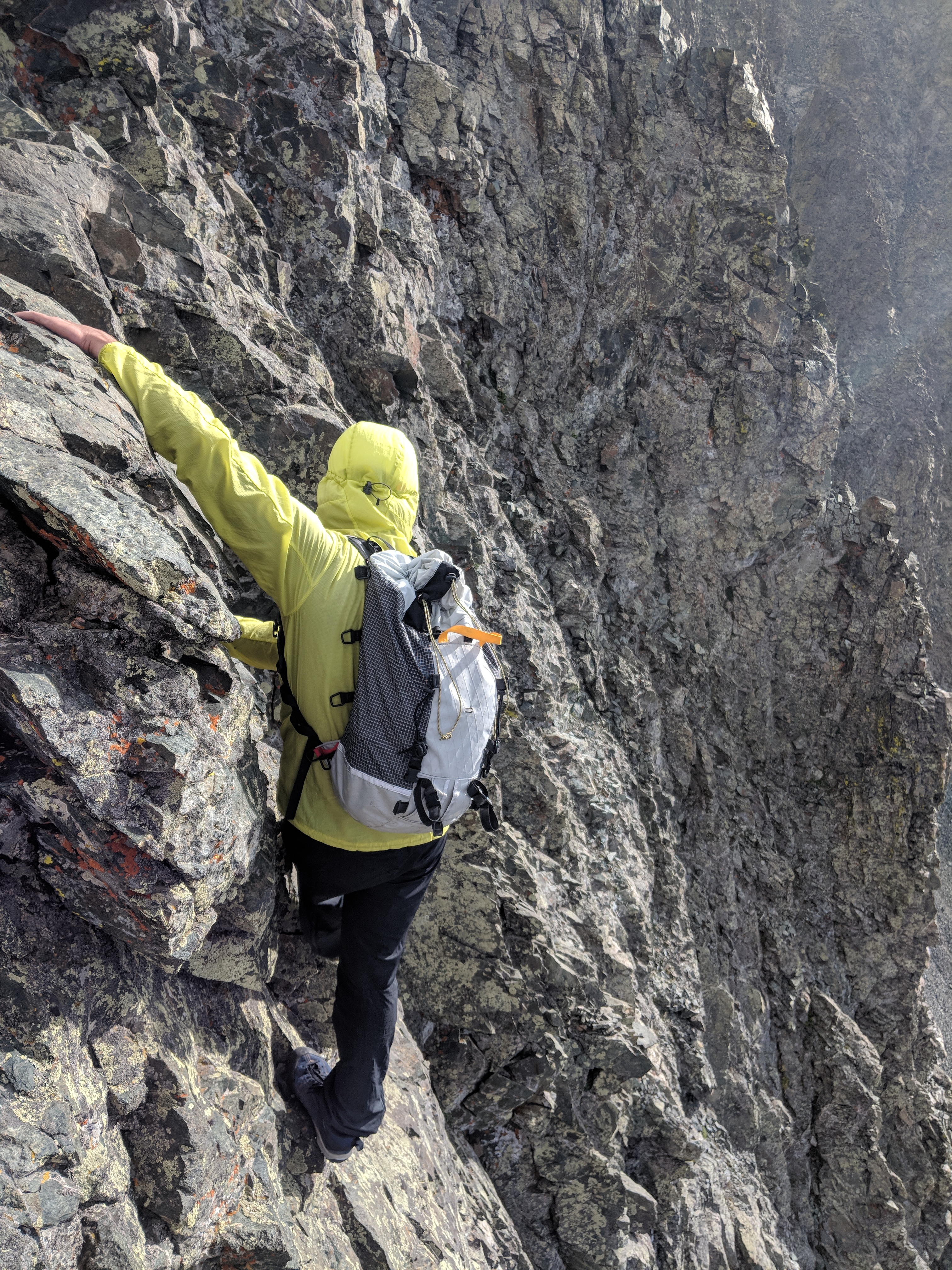
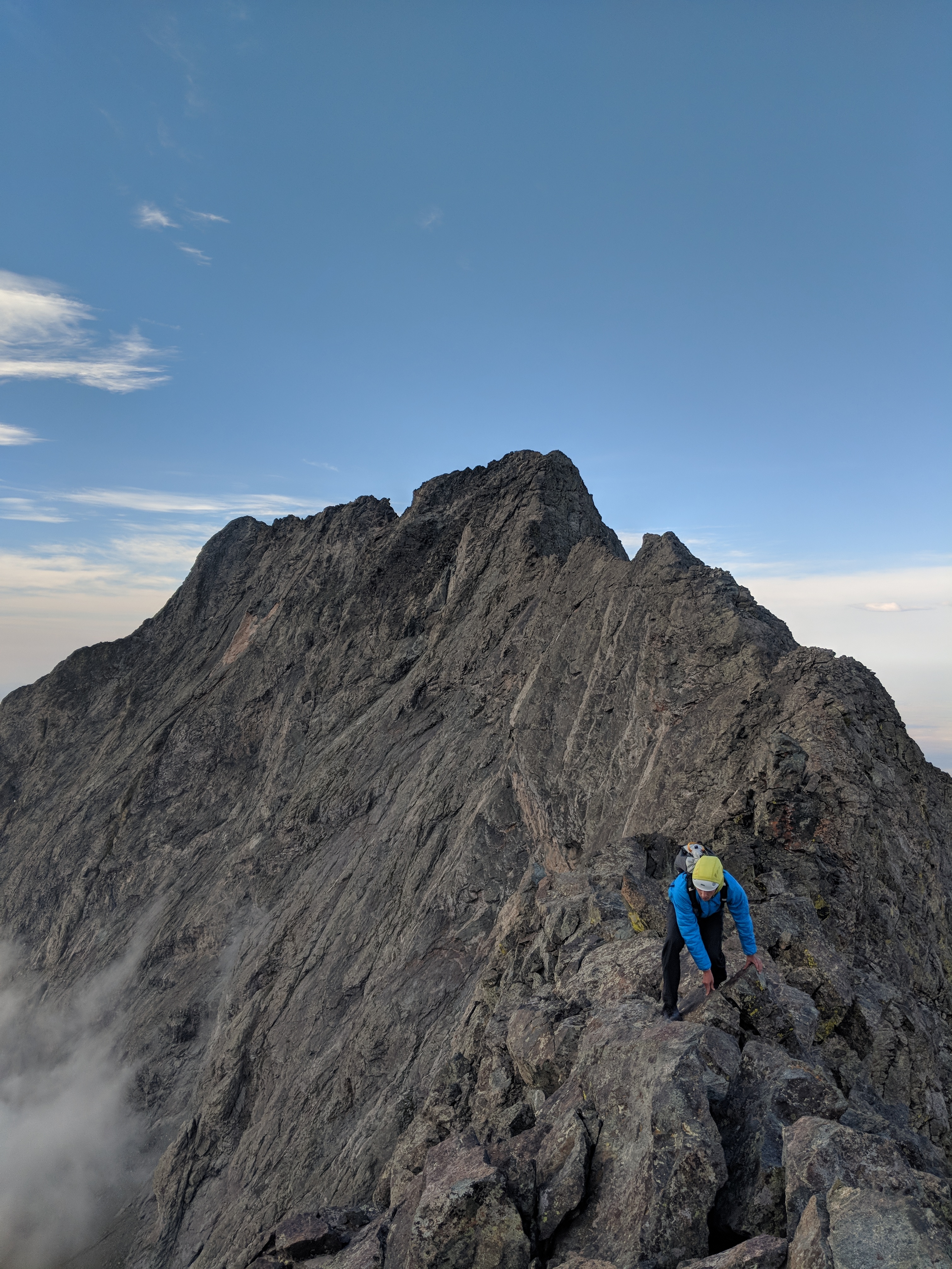
From the summit of Little Bear Peak we could see the mile-long mohawkian ridge to Blanca Peak….then set off on it. This being the “most dangerous” of the 4 great traverses, we were nervous. However, a clear day with decent rock, awesome views, exciting exposure, but nothing above our abilities put us in a good mood. After some exciting bits of exposure and good overall scrambling, we summited Blanca with a bit of relief knowing the hard part was over! Whistler and I had a snack then hiked over to Ellingwood Point via the fun ridge connected to Blanca. From Ellingwood we had an excellent view looking across the basin to the ridge connecting LB and Blanca. We then hiked down to our tent, packed up, then headed back to the car. We spent the next night on a friend’s property in the San Luis Valley looking up at Little Bear’s bold, blunted shape.
Photos clockwise: Whistler beginning the ridge to Blanca under awesome clouds in the sunrise; scrambling near the end of the ridge; one of the more exposed parts of the traverse; climbing up the hourglass gully; what the frayed, fixed rope is afixed to gave much to fret about.
An Attempt on the Crestones
Click here for a route description and map from 14ers.com
Reading through our guidebook and some info obtained online, it looked like the Cottonwood Trail from the west side of the Sangres would be our best option because of its relative proximity to us and rather short approach to Cottonwood lake without any unnecessary gains/losses. Plus it meant that I could hike the 14ers without ever doing the whole South Colony road walk! I had done Humboldt’s West Ridge in the winter a year or more prior.
We slept in that morning, waking up to a cloudy, cooler day in the San Luis Valley. We drove to the trailhead, packed our stuff, then began the amble down the trail. We were feeling the past week of hiking beginning to wear on us. The day was mostly clear, drizzling here and there while we hiked up the trail. The approach trail was great with a little bit of bushwhacking and route finding here and there but some gorgeous cascades and cool exposed rocks. We got to camp, pitched the tarp, cooked inside it (mac & cheese!), and started to get ready for bed.

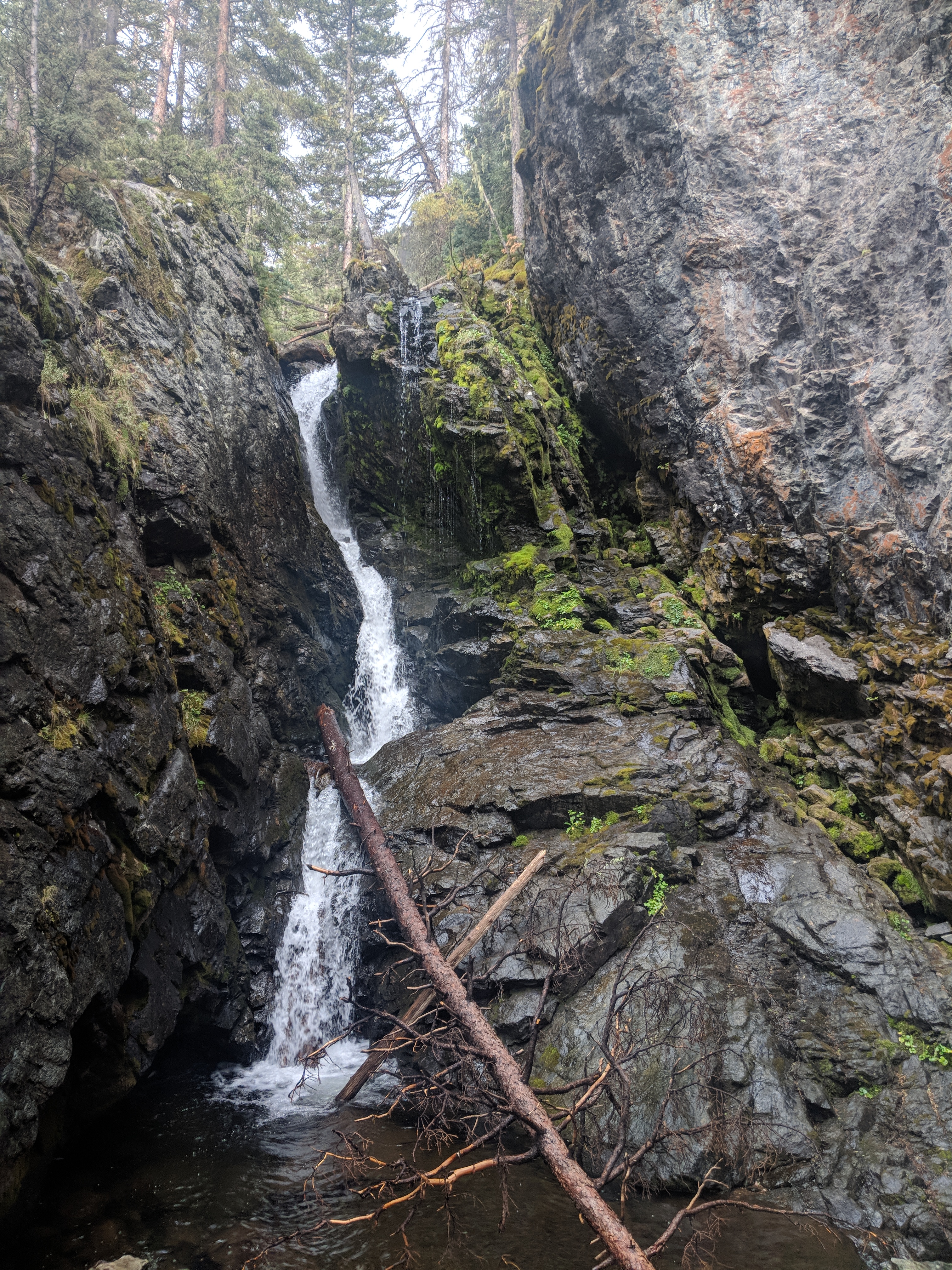

We slept in that morning, waking up to a cloudy, cooler day in the San Luis Valley. We drove to the trailhead, packed our stuff, then began the amble down the trail. We were feeling the past week of hiking beginning to wear on us. The day was mostly clear, drizzling here and there while we hiked up the trail. The approach trail was great with a little bit of bushwhacking and route finding here and there but some gorgeous cascades and cool exposed rocks. We got to camp, pitched the tarp, cooked inside it (mac & cheese!), and started to get ready for bed.
The next morning we woke up pre-dawn knowing it was the last early morning of the trip. It was still cloudy as we made our way up the trail. Following a route description we were reading, we turned north shortly after leaving the trails, trying to follow cairns in the dark. It was dark, the trail was tough to follow, and the highest peaks were in the clouds. We started climbing a large grassy slope using Google Maps for navigation. Looking back, we had lost the trail completely and were blindly gaining elevation far west and north of the trail. Navigating in clouds with a flashlight we could not tell where we were or needed to go. After an hour or so, we descended and found the trail we were supposed to be on. A small error in navigation cost us a couple hours and started to wear on us. We found the red gully on the south face of Crestone Peak and began to climb it. The foggy weather never let up and After an hours of this, we were tired with minimal hope of the weather improving. We threw in the towel. We hiked back to the tarp, packed up and headed out.
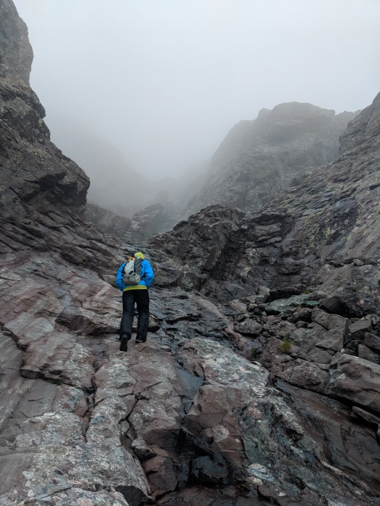
Overall, we had done 3 of the 4 classic traverses, all first time climbs for both of us. We were disappointed to bail on the last route but content with what we had gotten done in a short period of time. We experienced some excellent corners of Colorado and had lots of fun times.
Note: a year later I finished the 58 of the CO 14ers with the Crestone traverse with another buddy. We used the same approach and didn’t have as hard of a time finding the trail. Now I travel with caltopo maps in my pocket in addition to a number of other mapping tools.
 Samuel D. Parks