The Four Great Traverses of the Colorado 14ers: Part 1, The Maroon Bells

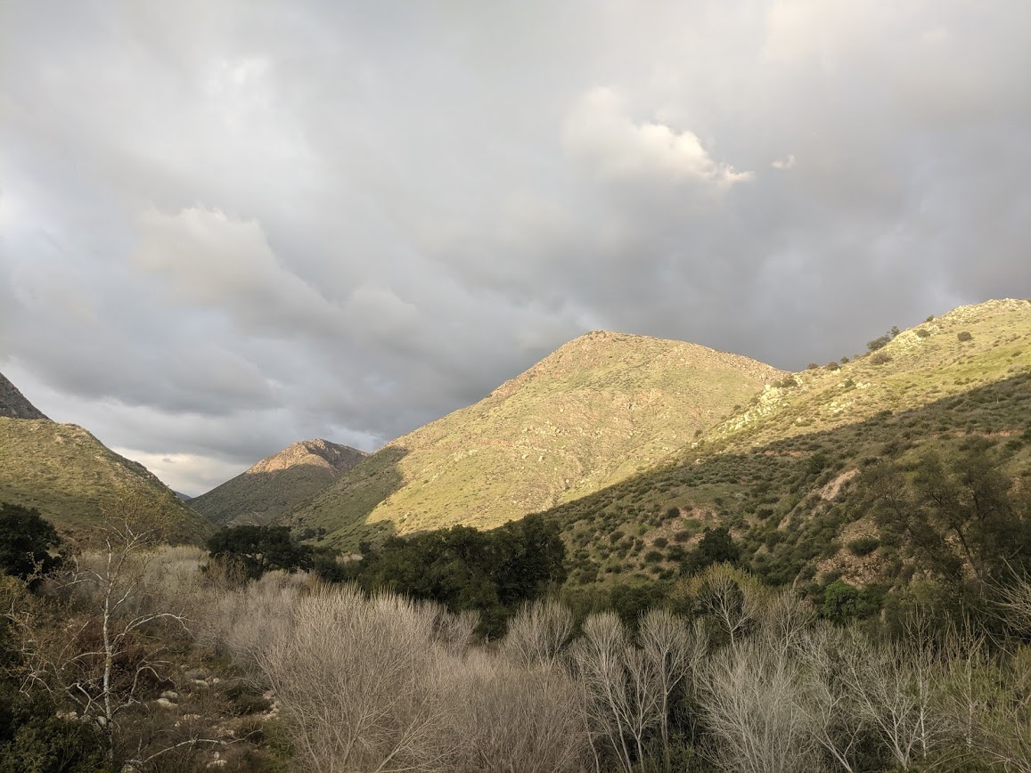
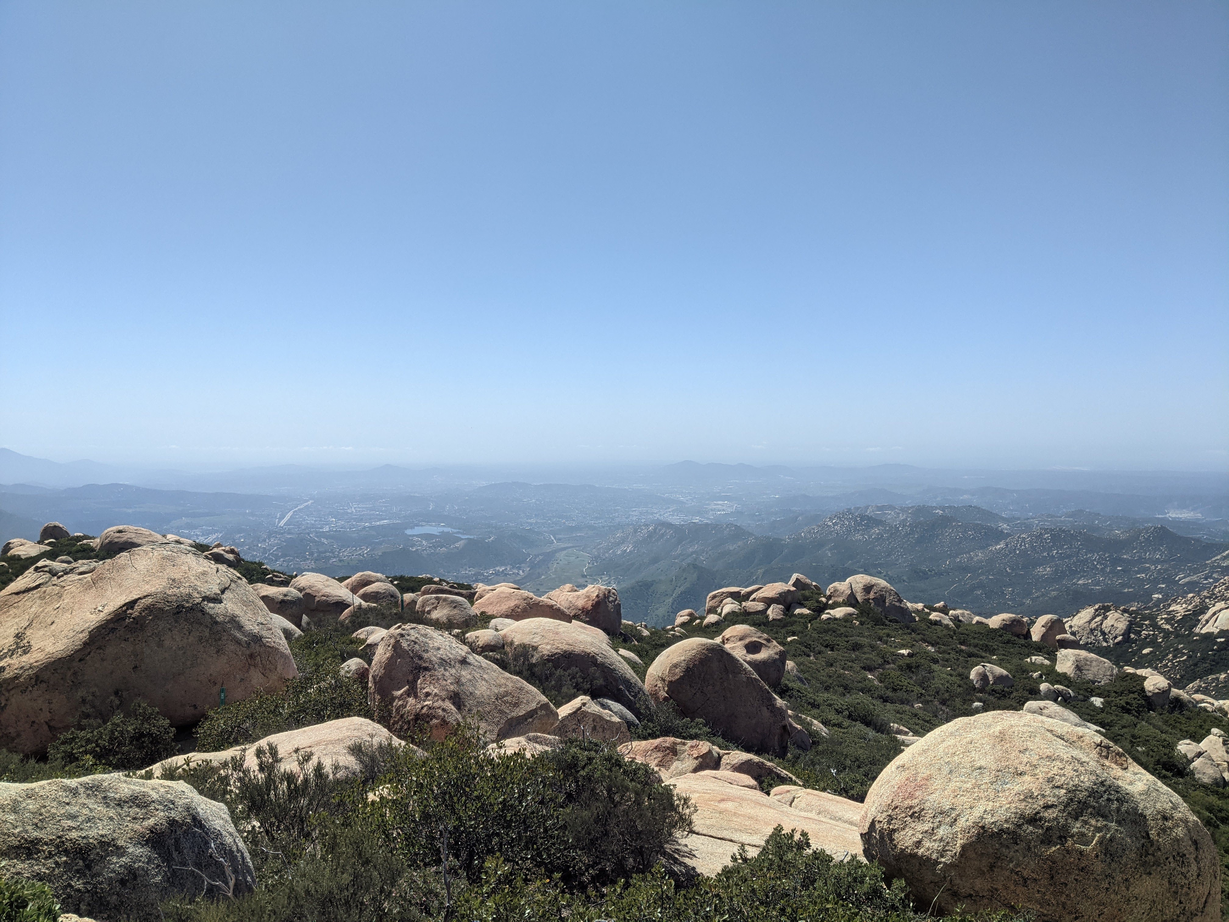
This is part of a series of blog posts from attempting the 4 great Traverses of the Colorado 14ers. Our trip occurred in August of 2018 but I wrote them in April 2021, so some details are fuzzy.

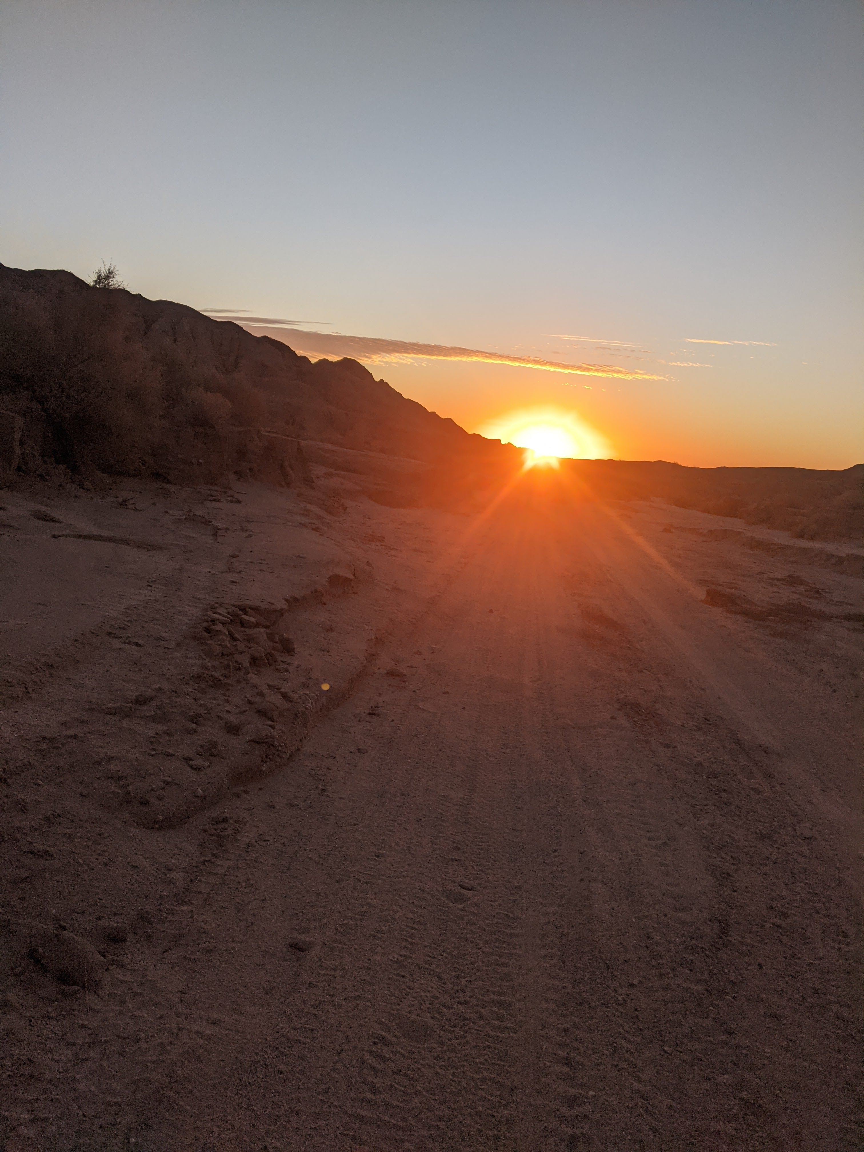
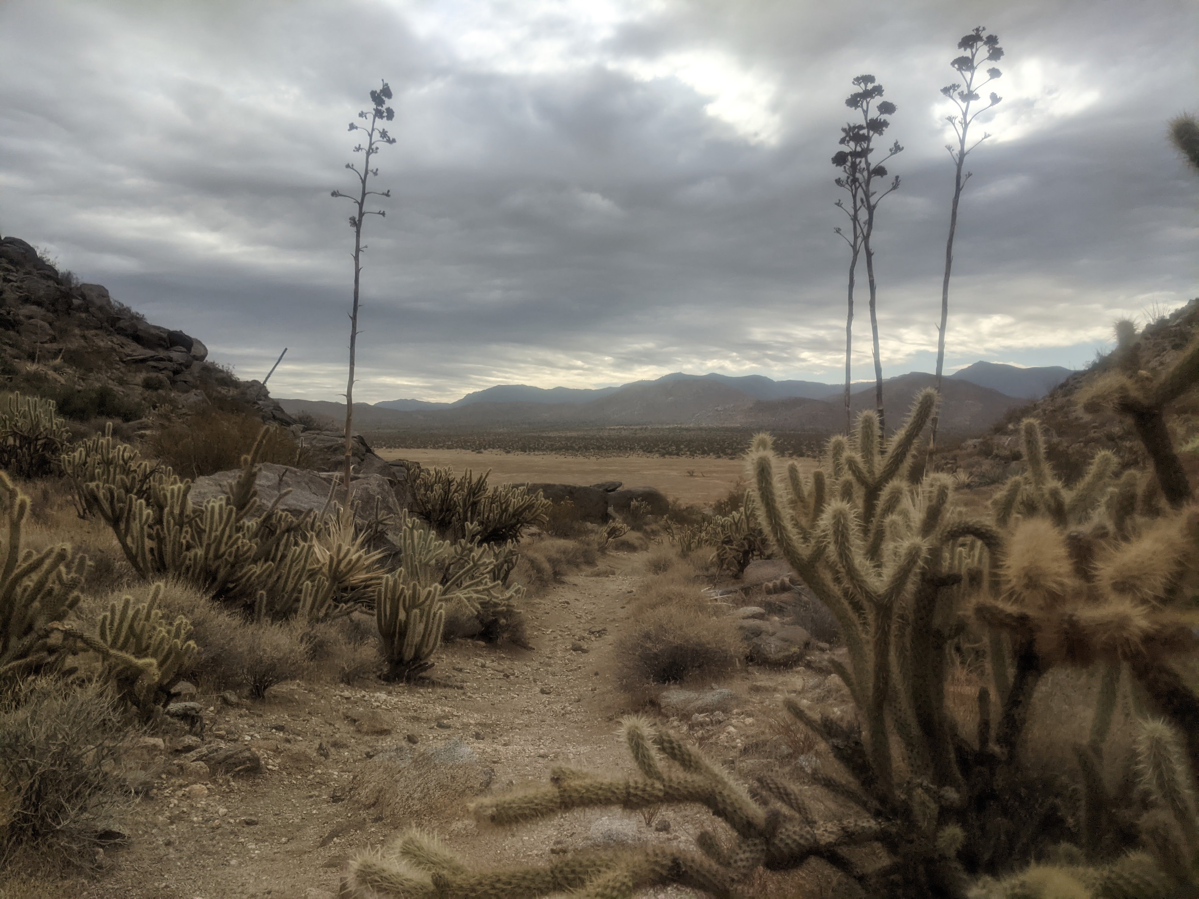
In August of 2018 I had a trip planned with a buddy from the PCT. He was traveling to Colorado to stay with his girlfriend (at the time) before driving up with her back to school. I had convinced him to set aside a week or two for a scramblin’ ramblin’ good time trip through some of the mountains in the San Juans of Colorado. Our original plan was to plan a high-route through the Weminuche Wilderness. I had read a few blogs, seen some photos, and been in the area a bit to have some considerations on how to do it. After picking him up we realized that even though I had planned something on a map, it didn’t mean it would go. We didn’t want to burn our trip up with scouting passes and potential routes, especially as the Weminuche is remote. Pretty quickly we scuttled the original plan and turned towards the “Four Great Traverses of the Colorado 14ers.” These routes were something I had been conscious of for a number of years while working on my list of hiking the other 58 Colorado 14ers. We had nearly two weeks of time, a car full of gas, and the ever classic Gerry Roach Colorado’s Fourteeners book to guide us to the top, across, and down. We packed up and headed to Aspen where we stayed for a few days with a mutual friend.

First: Maroon Bells traverse South to North

Click here for a description of the routes and a map from 14ers.com

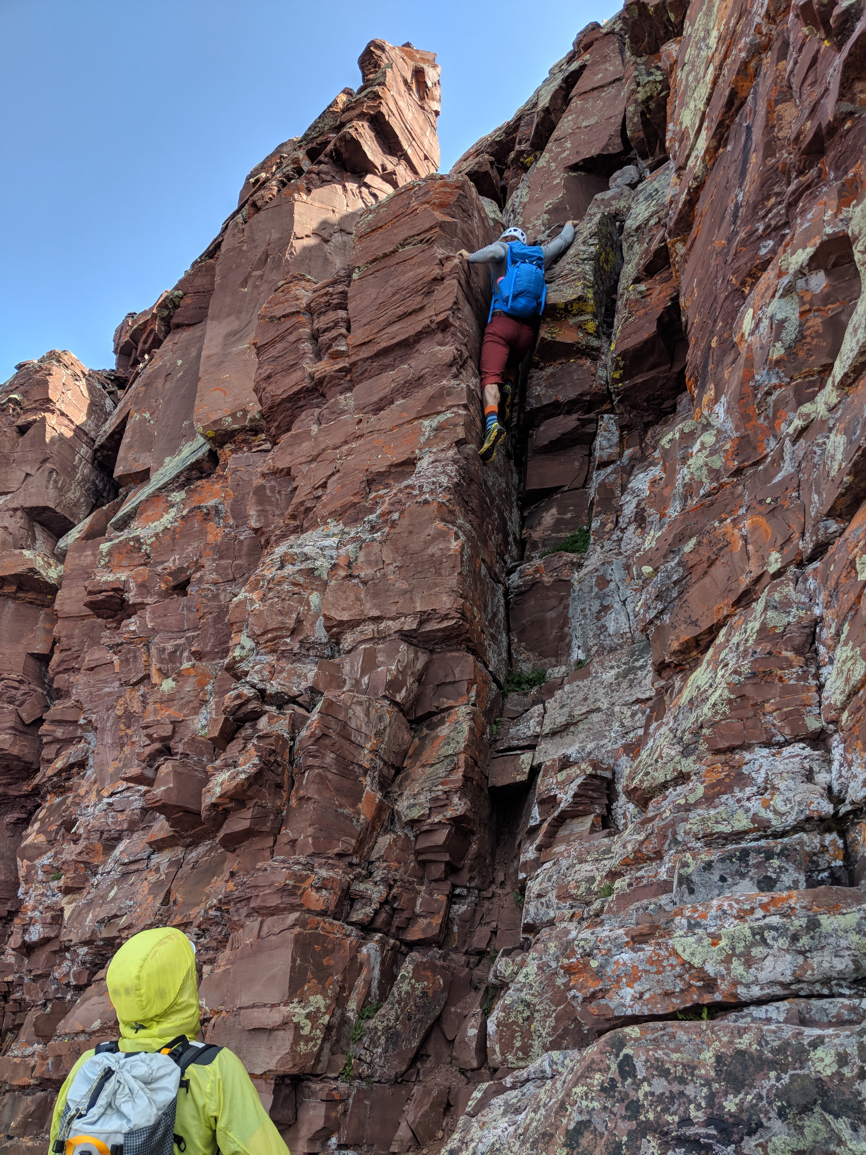
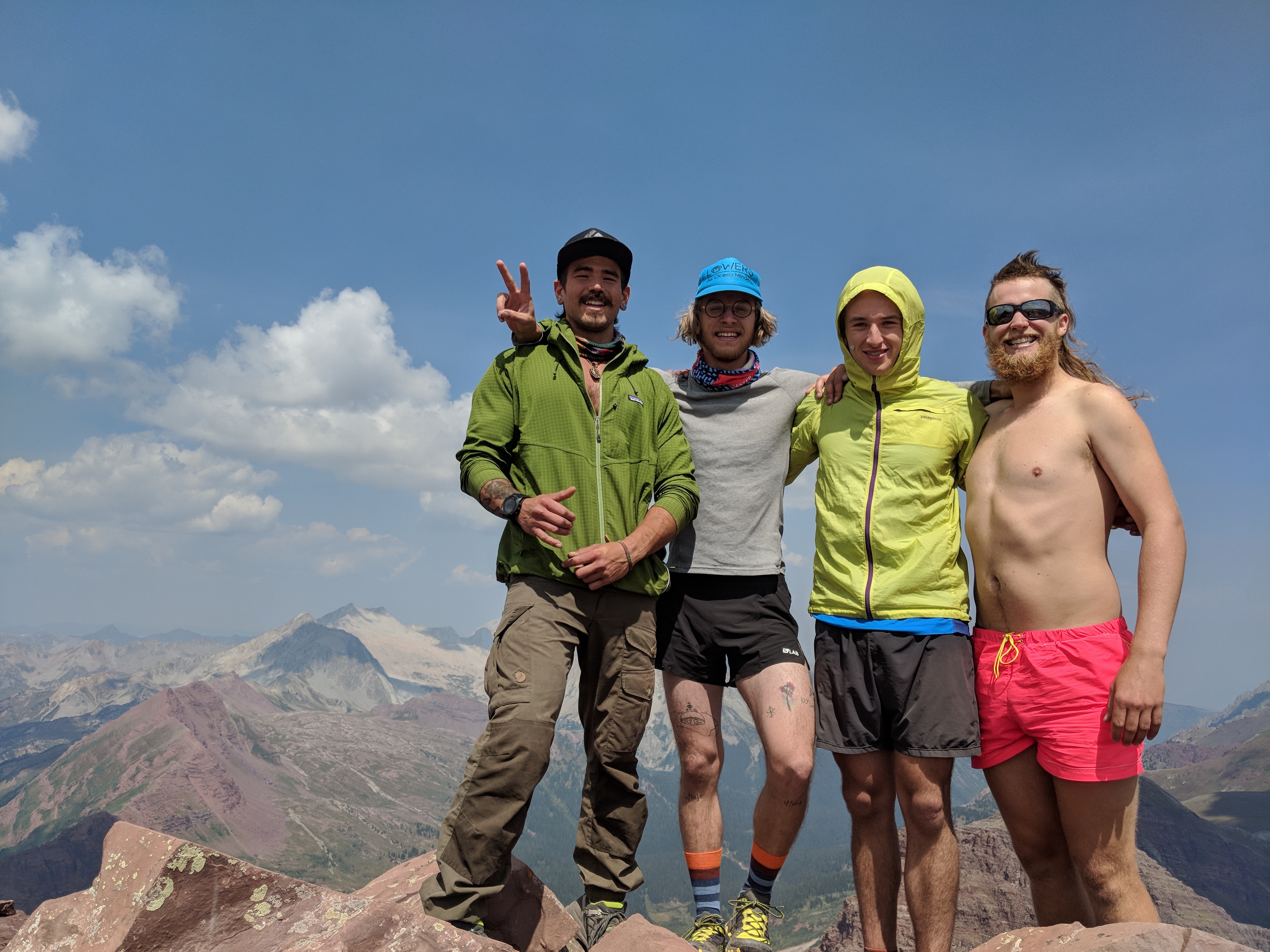
After a couple days in Aspen, we took advantage of a good weather day. My buddy Whistler and I teamed up with a couple friends of our Aspen friend who had some experience on the Bells. They also lived in Aspen and were psyched for a long day in the Aspen high country. We set out early, pre-dawn, in order to get a coveted spot in the Maroon Lake parking lot. We had an overall enjoyable but very goofy climb up S Maroon. We summited S Maroon sometime after the sun broke the horizon and only saw a few other folks on the way up. We took some photos (that’s me with a fresh mullet and pink shorts), ate a few snacks, then looked out at the traverse to North.

Per the guidebook, our knowledge of the route was to stay mostly on the west (left) side of the ridge after downclimbing to the bell cord couloir. As soon as we stepped off the summit, I was viscerally reminded of the rock quality of the Bells and the greater Elks range. Thankfully the initial downclimb was short and we came upon the more difficult section quickly. Having 4 eyes to route find through the traverse was helpful as we were able to scout different directions and find the best path through. At one point, one of the guys decided that a small roof overhang was “not the route, but I am going to climb it regardless” ….alright. Thankfully, he pulled through, though I was certainly gripped watching him! We had a good time traversing to north. About halfway through a guide with a client passed us- fast! I was amazed at how quick they moved through the terrain with a short rope out, here we were eating their dust without any ropes slowing us down! We reached the summit of North and ate and chatted some more. Weather was holding steady so it was time to start the descent. Because of the infamy of the traverse, we had all focused on reading beta for that section, not so much for the route down North. We picked our way down, following cairns and our best judgement. The last bit was a slog back to the car but we made it without needing to turn on our headlights! Whistler and I spent another day or two in Aspen before jettisoning south to the San Juans.

San Diego Trans-County Trail: Round two

Day 1 (part 2), 25 miles, 3/21/20

My dad dropped me off where I got off trail two months ago, on the side of sunrise highway, mile 77 of the SDTCT. I started hiking around 930 in the morning. Immediately, I missed an intersection though I was oblivious for 20 minutes. In order to not backtrack I meadow-whacked towards the trail. As I approached, I realized the route I was supposed to be on just followed some faint ruts across the meadow, no wonder I missed it! Another mile or so in the trail entered the forest. Everything felt so alive which was fitting as it was the first day of spring. I saw some deer, heard and saw many birds, and even heard frogs. I was happy strolling through the tall ponderosa pines. 4 miles in I came to the Cuyamaca Store where I filled my water for a long dry stretch. I took off from there walking on the highway until a turn off for a little used trail. I had expansive views to the west while walking on grassy tread. The trail linked up with a road which I walked for miles through cool mountainside cabins all with great westerly views. Folks were friendly too. Eventually the road turned to dirt, I took a left on another road. Miles later I came around a bend to see many parked cars for a popular day hike, three-sisters falls. Without checking my map, I followed the popular trail, however that wasn’t the SDTCT. When I caught my mistake, I chose to take a “trail” my map app illustrated instead of doubling back. This was more of a bushwhack but eventually connected to the dirt road I took down. I had a nice afternoon hiking largely a closed dirt road. The SDTCT crossed paths Cedar Creek Falls, just off trail. I had to check it out in the dusk. I then climbed out of a canyon in the late dusk and walked a couple more miles until I found a spot I could bed down in, a small rivulet. Hope it doesn’t rain! It’s a clear night so I suspect chilly temps.

Day 2,  13 miles, 3/22/20

I slept cold last night. I woke up a bit and at times I felt like I was waiting for the sun to rise so I could get to hiking. It didn’t take long to warm up once the sun rose. The first bit was off trail bushwhacking which was a rough start to the day but set the tone for what most of the day would be like. After scrambling through a few ravines, I decided to reroute to a road that reconnected with the trail. I had a pleasant walk through a neighborhood, though one particular dog wasn’t happy with me walking on HIS street, thankfully a good fence separated us. After I reconnected with the trail, I followed a forest service road for a few miles. The road was nice, not a single vehicle passed me and it meandered through rocky mountains where boulders jutted out of the dense chapparal. I arrived at a gate with a very clear “NO TRESPASSING” sign and cameras. I knew that the next ½ mi of road crossed a corner of the El Capitan Indian Reservation and I needed to take a detour west then south to reconnect with the road. All because I did not have permission to walk the ½ mi of road, not that there were any houses or connecting roads off this section… Seeing no good section to leave the road, I just went for it. The bushwhack was awful. It took over an hour to get less than a mile up a mountain, along a ridgeline and back down. On the descent I had to downclimb some sketchy boulders with one requiring me throwing my pack down then climbing after it. I had to laugh when the last 50ft to the road was the thickest and densest shrubbery I have ever encountered. I pushed through it with brute force, knowing I had no other option. Relieved, I made it back on the road. I had another couple of miles before the next bushwhack up to El Cajon Mtn. I enjoyed the fine trail until it was time to bushwhack west. After the previous ‘whack, I was not looking excited to the next one. A couple of hours later, I was standing on the summit, exhausted. I certainly did not enjoy that bit at all. I hung out up top for awhile, dried my sleeping bag, ate some snacks, then headed down the trail towards the trailhead. As I was walking “down” the El Cajon Mountain trail, I was feeling the burden of the day. I was not enjoying my time hiking and the brutal bushwhacking really took it out of me. The descent off El Cajon Mountain was steep and had some big uphills as well. Upon reaching the bottom, I called my dad and he picked me up. I didn’t want to hike the last ~37 miles to the coast and the day after I was happy I made that decision.

San Diego Trans-county Trail, 77 miles

Day 1, 22 miles. 1/17/21

Today I started hiking the San Diego Trans-County Trail, from the Salton Sea to Torrey Pines. Today I set off just after 11am, after caching water in a couple places on the drive out. The first 19 miles are along Arroyo Salada, a wash that’s also an OHV route. Starting late morning, the sun was full on but as the shadows lengthened, the temps began to drop. I spooked two jackrabbits, they raced across the desert floor ahead of me. I also saw a Killdeer in a fenced off area with standing salt water. Dinner was cold soaked re-fried beans and couscous with some green chili spice on it. Delicious! After the sun set I hiked for a few hours, barely needing a headlight.

Day 2, 27 miles. 1/18/21
Last night I slept on the side of a sandy wash. I woke up with the sun and was hiking shortly after the sunrise. As dawn broke, cool temps and a light breeze kept me happy while I enjoyed the morning colors. The trail was mostly wash, and unfortunately not easy walking as it was well traveled by vehicles, making the sand soft. There was a cool section where I meandered down a mud ravine (pictured) while crossing drainages to a new wash. The wash led out to a paved road and I hiked on the shoulder for 5mi into Borrego Springs where I recharged my phone and drank lots of water at the very welcoming visitor center. Begrudgingly, I shouldered my pack for the 3,500ft climb out of town in the heat of the afternoon. After a hot hour or so, I found myself in the shadow of the mountain off to the west. I played peek-a-boo with the sun until it set, when I had great views looking back east, down over town and all the way to the Salton Sea. I clicked on my headlamp when it got dark and ended spotting two foxes up ahead just off trail, I believe one was a juvenile. After a few hours of night hiking, I found a flat enough spot to sleep for the night.

Day 3, 28 miles. 1/19/21

I woke up after a cooler-than-expected night and walked with my layers on as the sun broke out of the clouds. This section of the trail was contiguous with the CA riding and hiking trail as it meandered through Grapevine Canyon and the culturally important Angelina Springs. While hiking, I spooked a number of flocks of quail- sorry hunters! I picked up my water cache and took off. The overcast morning and lower temps allowed me to carry for over 20mi, skipping a detour to refill. While walking up a wash, I said hello when I crossed a day hiker, the only person I spoke to for over 30hrs. Eventually the wash ended and there was a beautiful view looking up towards the Laguna Mountains with the lonely desert highway, S2, below. I navigated back into another wash for a few miles before crossing the highway and starting to climb up. I found myself ascending the same path that I had descended a decade or so ago when on my first backpacking trip. As I climbed out of Oriflamme Canyon, I contemplated continuing on. In truth, I was tired and sore and had been cold all day. What would be the usual aches and pains of hiking seemed to be larger today than in the past, possibly something I purposefully forgotten. As I crossed the PCT, on the eastern ridge of the Lagunas, the wind picked up big time and it became clear to me that I was physically exhausted, in more pain than enjoyment, and had been cold all day. My dad picked me up a couple hours later, just past the halfway point of the trail and I slept in my bed at home last night. A day later, I am struggling to accept that I took the easy option out simply because I was cold, my feet hurt, and I was simply not enjoying the trail like I thought I would.